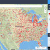
 If you’re getting into drone photography, it’s important to know where you can and can’t fly — otherwise you could find your activities in the news for all the wrong reasons. AirMap is a new free, comprehensive, and interactive digital map that’s designed specifically to help drone users find safe and legal airspace around them. […]
Share this Article
Recommended